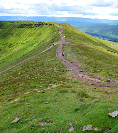
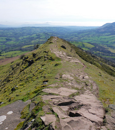
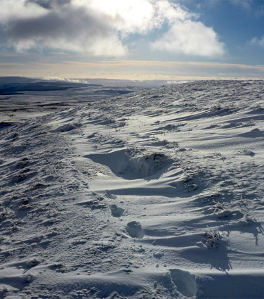
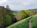
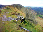
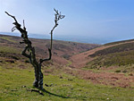
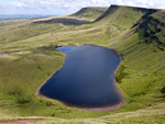
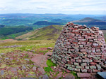
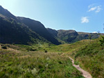
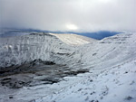
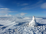
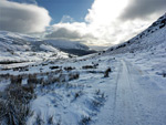
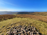
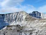
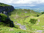
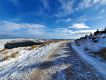
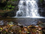
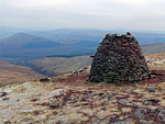
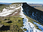
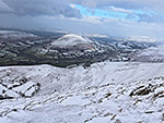
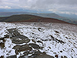
The only true mountains in southwest UK are the Brecon Beacons and neighbouring ranges, all contained within Brecon Beacons National Park, though even these are not especially dramatic or craggy compared with Snowdonia in north Wales, or many other peaks further north. The highest point, 2,907 foot Pen y Fan, is an especially popular destination, climbed by hundreds of people on some days, though most other areas of the park are much less visited, and true solitude can still be found. The point furthest from a road (about 3 miles) is within the Black Mountain Fans, also not very remarkable compared with other mountains, but still distant enough for an authentic wilderness experience. Besides the peaks, nearly all of which are smooth-sided, flat-topped, and covered by short grass, generally without any rocky outcrops, the national park also contains valleys, waterfalls, caves, reservoirs and assorted historic structures.
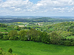
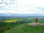
Other significant high elevation regions consist of hills or plateaus rather than mountains, such as the extensive moorland of Dartmoor and Exmoor, and narrower ranges of hills including the Malverns, Quantocks, Blackdowns and Mendips. The latter rise up to 1,000 feet above the surroundings and contain one significant open, moor-like area (Black Down), plus several smaller unfenced regions including around Cheddar Gorge and at Crook Peak. The Cotswold Hills are rather less dramatic, and the elevation is only properly evident along the perimeter, especially along the west edge, where the ground drops abruptly towards Seven Vale, viewed example at Barrow Wake, Coaley Peak, Crickley Hill and Swift's Hill.
Other significant high elevation regions consist of hills or plateaus rather than mountains, such as the extensive moorland of Dartmoor and Exmoor, and narrower ranges of hills including the Malverns, Quantocks, Blackdowns and Mendips. The latter rise up to 1,000 feet above the surroundings and contain one significant open, moor-like area (Black Down), plus several smaller unfenced regions including around Cheddar Gorge and at Crook Peak. The Cotswold Hills are rather less dramatic, and the elevation is only properly evident along the perimeter, especially along the west edge, where the ground drops abruptly towards Seven Vale, viewed example at Barrow Wake, Coaley Peak, Crickley Hill and Swift's Hill.
CeredigionTeifi Pools Remote lakes in barren moorland towards the west edge of the Cambrian Mountains, explored via a loop path or off-trail walking Rating: ★★★★★ |
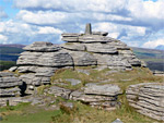
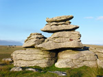
DevonBellever Tor Large tor with much exposed, weathered granite, offering panoramic views; at the centre of Dartmoor National Park Rating: ★★★★★ |
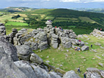
| Foggintor Quarry and King's Tor Abandoned granite quarry centred on a large pool, accompnanied by some ruined buildings, and a photogenic tor Rating: ★★★★★ |
| Haytor Rocks and Hound Tor Granite outcrops in Dartmoor National Park, plus a ruined medieval village and several old quarries Rating: ★★★★★ |
GloucestershireBarrow Wake Nature Reserve Steep-sided limestone hill along the edge of the Cotswolds, with fine westwards views and over 100 plant species Rating: ★★★★★ |
| Coaley Peak High point along the west edge of the Cotswolds, with views to the Severn valley. Also site of a prehistoric burial chamber Rating: ★★★★★ |
| Crickley Hill Prominent limestone hill at the edge of the Cotswolds, overlooking Gloucester and the Severn valley; a noted wildflower location, plus old quarries and the remains of an Iron Age hillfort Rating: ★★★★★ |
| Swift's Hill Nature Reserve Hillside nature reserve; a noted location for wildflowers, including 15 species of orchid Rating: ★★★★★ |
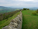
HerefordshireBlack Hill and Olchon Valley Easternmost summit of the Black Mountains, tapering to a narrow, rock-lined ridge, overlooking a secluded valley Rating: ★★★★★ |
MonmouthshireBlorenge Flat-topped summit, high point of the hills south of Abergavenny, west of the River Usk. Reached by a 0.8 mile path Rating: ★★★★★ |
| Skirrid Fawr Eastern outlier of the Black Mountains, circled by a 4 mile trail; overlooks a large area of south Wales Rating: ★★★★★ |
Merthyr TydfilDarren Fawr Limestone plateau edged by sheer cliffs and steep scree slopes, above the Taf Fawr valley Rating: ★★★★★ |
SomersetBlack Down The highest summit of the Mendip Hills, at the centre of a sizable area of moorland Rating: ★★★★★ |
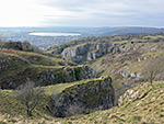
| Cheddar Gorge Famous limestone ravine at the south edge of the Mendip Hills, containing several caves, and viewable via a 3 mile loop path Rating: ★★★★★ |
| Cockercombe and Triscombe Stone Wooded valleys in the Quantock Hills, and a section of the ancient ridgeline path Rating: ★★★★★ |
| Crook Peak Rocky summit with excellent views; the most distinctive peak in the Mendip Hills Rating: ★★★★★ |
| Draycott Sleights Nature reserve at the southern edge of the Mendip Hills; good views and over 150 wildflower species Rating: ★★★★★ |
| Dunkery Beacon The highest point on Exmoor, surrounded by gentle slopes covered with heather and gorse, overlooking Porlock Bay and the Bristol Channel Rating: ★★★★★ |
| Hodder's Combe and Beacon Hill Wooded valley and a 1,018 foot summit overlooking the Bristol Channel; in the northern half of the Quantock Hills Rating: ★★★★★ |
PowysBlack Mountain Fans Summits along a dramatic ridge above two isolated lakes, on the west side of the park Rating: ★★★★★ |
| Clydach and Waen Rydd Cross-country loop, from Aber near Talybont, up Clydach valley, over steepening slopes to Waen Rydd, returning via a path Rating: ★★★★★ |
| Craig Cerrig Gleisiad Sheltered, north-facing cliffs harboring rare plant species, protected as a National Nature Reserve Rating: ★★★★★ |
| Cwm Serre and Cribyn Steep-sided valley with many small waterfalls, and a high summit Rating: ★★★★★ |
| Fan Fawr and Beacons Reservoir Summit in the Fforest Fawr region, and a scenic reservoir lined by trees; explored by a 4 mile loop hike Rating: ★★★★★ |
| Gospel Pass The highest paved road in Wales, between two peaks at the head of a remote valley in the Black Mountains Rating: ★★★★★ |
| Grwyne Fechan and Pen y Gadair-Fawr Loop hike around the upper end of the Grwyne Fechan valley, also visiting the summit of Pen y Gadair-Fawr Rating: ★★★★★ |
| Llanfrynach to Fan y Big Ten mile loop walk to a high peak in the Brecon Beacons along two ridges, Cefn Cyff and Pen y Bryn Rating: ★★★★★ |
| Llangattock Escarpment Limestone cliffs below the rim of a grassy, boggy plateau with a wind-swept lake; site of several cave entrances, and 18th century quarries Rating: ★★★★★ |
| Mynydd du Forest and Pen y Gadair Fawr Conifer plantation in the Grwyne Fawr valley, crossed by various tracks, one linking with a path to an isolated summit |
| Nant Cynafon and Waen Rydd Wooded valley, stream with waterfalls, open slopes, a flat summit, viewpoints and an aircrash site Rating: ★★★★★ |
| Nant Tarthwyni and Waen Rydd Wooded valley containing a small stream with pools and cascades, leading to a flat-topped peak Rating: ★★★★★ |
| Pen y Fan and Fan y Big Horseshoe Walk Spectacular loop hike to four summits in the Brecon Beacons, including the two highest points (Corn Du and Pen y Fan) Rating: ★★★★★ |
| Table Mountain, Pen Cerrig-calch and Pen Allt-mawr Summits in the Black Mountains, reached by a 9 mile loop hike Rating: ★★★★★ |
| Waun Fach, Grwyne Fawr and Nant Bwch Loop hike along ridges and valleys to several peaks on the north side of the Black Mountains Rating: ★★★★★ |
WorcestershireMalvern Hills Relatively long, tall and narrow range of hills, lying along the border with Herefordshire; an Area of Outstanding Natural Beauty Rating: ★★★★★ |
