Cross-country loop walk; from Aber near Talybont Reservoir, westwards up the wooded Clydach valley, then climbing over steepening slopes to the summit of Waen Rydd, returning via a path
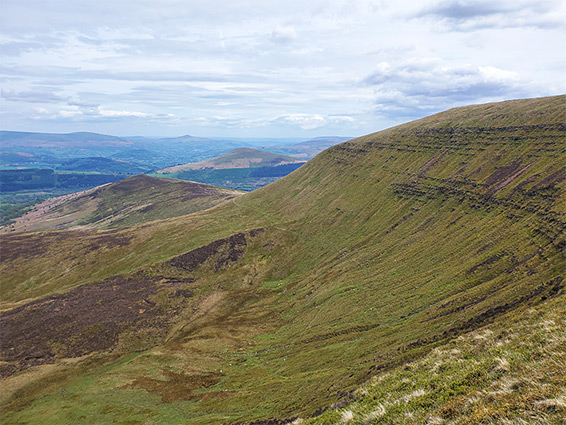
769 metre Waen Rydd is the easternmost of the central peaks of the Brecon Beacons, the group including Pen y Fan, and like most summits hereabouts its top is essentially flat, a plateau nearly one mile across, sloping steeply down on all sides, connected to the adjacent peaks only by a narrow spur of land.
The plateau may be reached by various paths, and also by off-trail routes, either across the slopes or along any of five valleys that lead up towards the high country - Caerfanell River, Nant Cynafon, Nant Menasgin, Nant Tarthwyni, and one named just Clydach.
This latter joins the lower end of the Caerfanell downstream of Talybont Reservoir, and the hike described here is up in the wooded Clydach Valley, beyond the upper edge of the trees then ascending the moorland above, climbing steeply to Waun Rydd, returning via a path along one of the inclined ridges that radiate from the summit; a loop of 6 miles, gaining 1,900 feet of elevation.
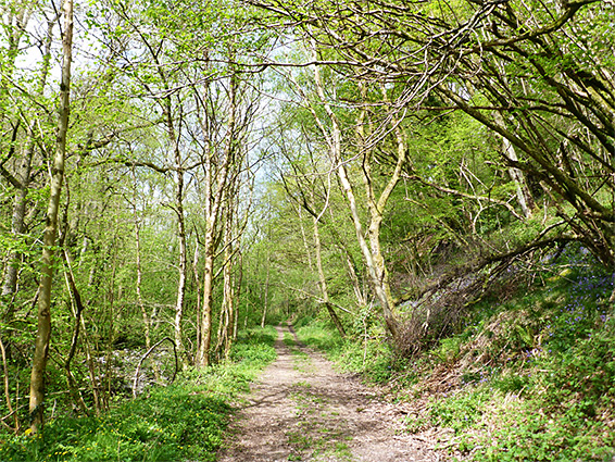
The walk starts from the village of Aber, along the road from Talybont, parking somewhere in the village or on verges of a narrow lane that heads west up the Clydach valley, leading to a pair of remote farms, Tyle-Clydach and Nantllannerch. Access to the valley floor is 0.3 miles along this lane, down a short track that forks right, through a gate, descending to the small stream that flows down the valley, in a wooded corridor. All the trees are native, broadleaf species, though a big conifer plantation is close by, on the north side of the valley.
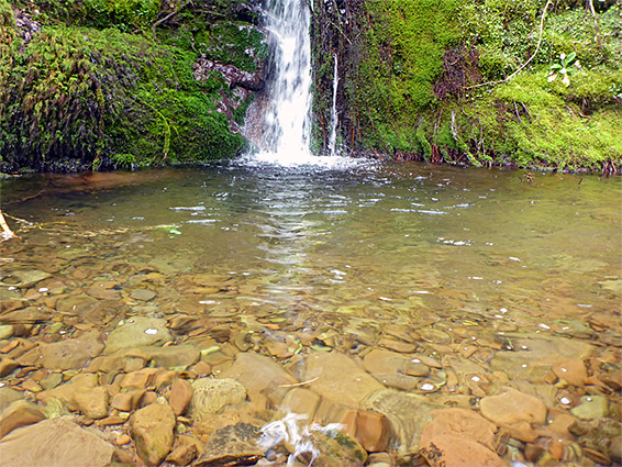
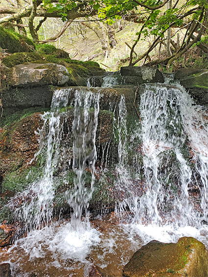
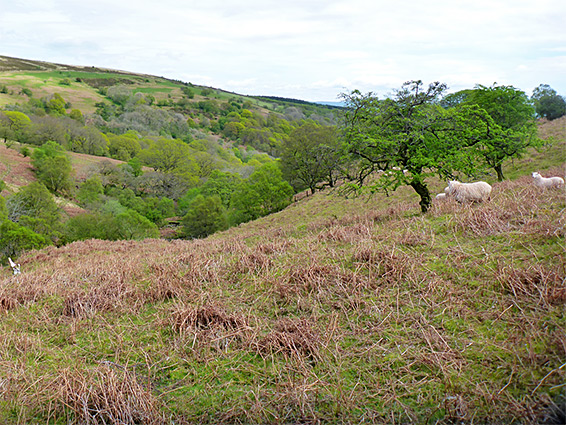
The track fords the stream and runs along the north side for a while but soon fades away. Beyond, an indistinct path follows the valley further upstream, on the south side, the route not always evident. The stream is bordered by rocky outcrops in a few places - dark sandstone from the Senni Formation, but mostly by overgrown slopes, steep in places, generally less so. The waters flow over a number of small cascades with pools beneath, but nothing particularly dramatic. A tributary (Nant y Llanerch) joins from the south, just below a slightly bigger waterfall, and not far beyond the stream is crossed by a track, an extension of the access lane, leading to another farm, and then on into the conifer plantation. This point is approximately at the upper end of the main belt of woodland, and the stream is soon flowing through an open valley, not enclosed, lined by a few scattered trees.
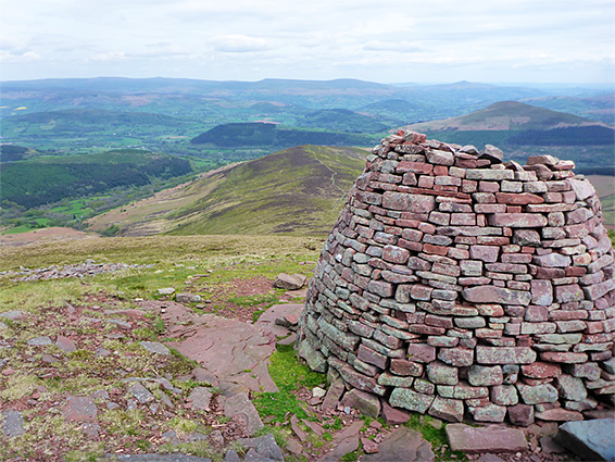
Beyond Nant y Llanerch is a broad ridge, Cefn Edmwnt, and another drainage, unnamed, followed by a second ridge, Cefn-bach, and a third tributary, Namt y Llestri, beyond which, the valley sides slope steeply upwards. Waun Rydd is above to the southwest, and the easiest route is to walk up Cefn-bach, climbing 1,400 feet from the stream, an ascent that gradually steepens, becoming somewhat difficult towards the top, the gradient lessening only once near the summit plateau, which is a boggy, grassy flat. Once here, walking south soon intersects a path that continues to a huge rockpile, Cairn Pica, at the eastern tip of the peak. The bedrock is exposed in a few places, now dark red sandstone from the Brownstones Formation. From the cairn, the return route is all in view - along a straight path heading due east down another of the radiating ridges, Twyn-du, initially steep then flat then steep again, on past a patch of trees and eventually meeting a track, which is followed almost to Talybont Reservoir Road, before cutting north across a field and meeting the narrow lane up Clydach valley.