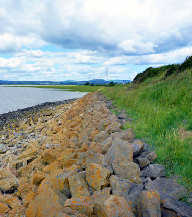
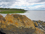
Historically within Monmouthshire, the city of Newport and a few smaller nearby towns became part of the unitary authority of Newport in 1996, stretching about 12 miles west-east and 7 miles north-south. The coastline of the Bristol Channel in this region is universally muddy, bordered by grass and marshes, and so not at all scenic, and most of the inland areas are low-lying, with just a few hills towards the nothern reaches, so the landspaces are also generally unremarkable.
There are four main historic sites within the unitary authority, plus a small selection of nature reserves.
There are four main historic sites within the unitary authority, plus a small selection of nature reserves.
Historic SitesCaerleon Castle - wall and tower from a small Norman castle; privately owned but visible from the adjacent road |
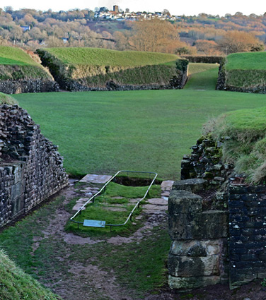
| Caerleon Roman Fortress Relics from a first century Roman fortress, including a bath house, barracks, a section of wall, and a large amphitheatre Rating: ★★★★★ |
Newport Castle - three towers along the east wall, facing the River Usk, are all that remains of this 14th century castle in the city centre; the rest of the site lies beneath adjacent roads |
| Newport Cathedral - a small cathedral containing some sections from Saxon and Norman times, though most is from the 15th century, or later Rating: ★★★★★ |
Nature ReservesGreat Traston Meadows Marshy grassland crossed by drainage ditches, on the Gwent Levels near the Bristol Channel coast; habitat for several rare plant species Rating: ★★★★★ |
| Newport Wetlands Three mile stretch of the Gwent Levels, including saltmarsh, mudflats, saline lagoons, reedbeds, wet grassland and wet woodland Rating: ★★★★★ |
